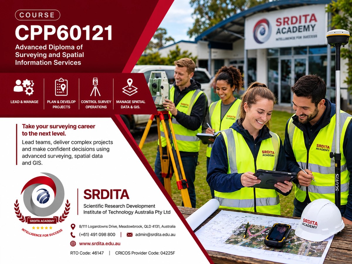
SRDITA – Surveying institute
Courses crafted with insights from industry professionals, so what you learn stays current and relevant.
Our courses have been crafted with valuable insights from various industry professionals, ensuring they remain current and relevant. The current members of the institute include representatives from leading multinational construction, property, and infrastructure companies, as well as commercial property experts from Chase and Partners, and CABE.
What is included in the curriculum?
The surveying course at SRDITA aligns with industry needs, emphasising real-life building practices, building pathology, construction technology, and the legal framework for the industry, along with risk management and building surveying practice.
The curriculum is grounded in the core competencies outlined by SRDITA's accrediting partners, providing a solid foundation for future careers. We emphasise essential technical knowledge in areas such as building pathology, construction technology, sustainability, and the legal framework necessary for a building surveying profession. Participants can also cultivate a range of academic and technical skills pertinent to the surveying field, reflecting the diverse demands of the industry.
Recognising the evolving nature of the industry, SRDITA believes in adopting new approaches and collaborating with industry partners to expose students to innovative changes impacting the field today. This ensures that our students stay abreast of industry trends and developments.
Courses
Upon completing your high school education (or its equivalent), enrolling in certificate and diploma courses in surveying will set you on the trajectory to join a prestigious profession that plays a pivotal role in the development of new high-tech, sustainable cities. Surveying also contributes to addressing global issues such as climate change, urbanisation, migration, and resource scarcity.
In a land surveying program, you'll acquire the skills to plot and analyse land, structures, and natural resources. Your activities may range from utilising state-of-the-art Global Navigation Satellite System (GNSS, such as GPS) equipment to designing land development projects. The program offers hands-on experience with the latest Computer-Aided Design (CAD) programs, as well as exposure to numerical modelling and project management software.
The process of becoming a surveyor
Surveyors are responsible for measuring, analysing, and reporting land-related information essential for the planning and regulation of land, sea, and the environment. They may also branch into related fields like photogrammetry, geographic information systems (GIS), remote sensing, and take on roles as project managers. With experience gained in the field, many surveyors advance to management positions.
Educational pathway and training for surveyors
To pursue a career as a surveyor in Australia, it is essential to attain qualifications in relevant fields such as surveying, geographical information systems, spatial science, and geospatial science. Achieving a Certificate IV in Surveying and Spatial Information Services or a Diploma of Surveying is a recommended path to qualify for entry-level positions within this sector.
How you will study
Delivery combines face-to-face classes, fieldwork practicals, online sessions, and self study and research. Each course page lists its delivery mode, timetable and start dates.
Course syllabus
- Theory of Surveying & Levelling
- Spatial Data Management & Geographical Information System (GIS)
- GIS Software (ArcView GIS)
- Global Navigation Satellite System (GNSS)
- Global Positioning System (GPS) and GPS Software
- Mathematics for Application
- AutoCAD, producing survey drawings & related software
- Practice of all types of surveying & levelling with the latest Total Station & Level Instrument
- Design basic engineering structures
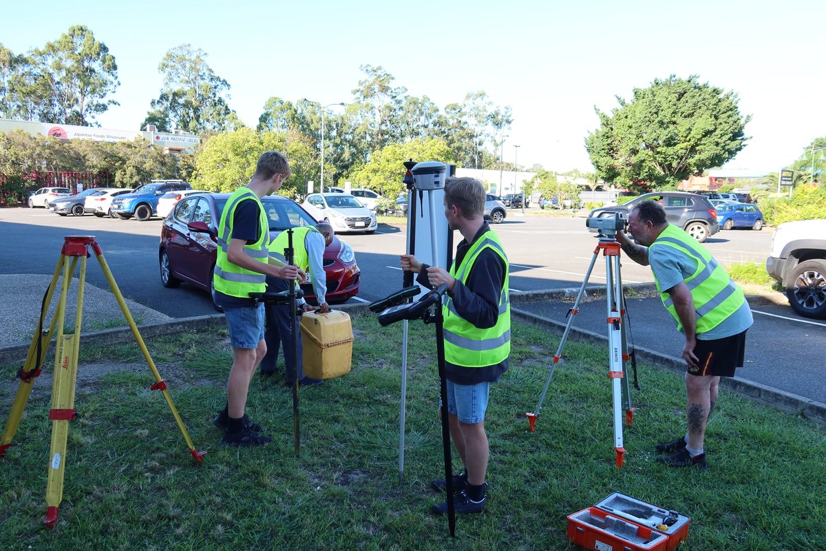
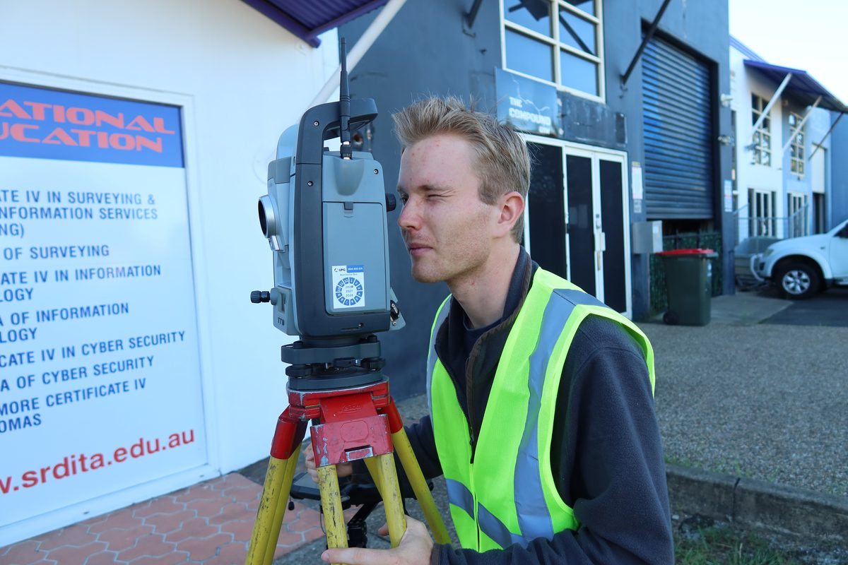
Learn in the field
Fieldwork and practical sessions with total stations, GNSS and levels are a key part of the surveying courses.
Your surveying pathway
Start where you are and progress through each level.
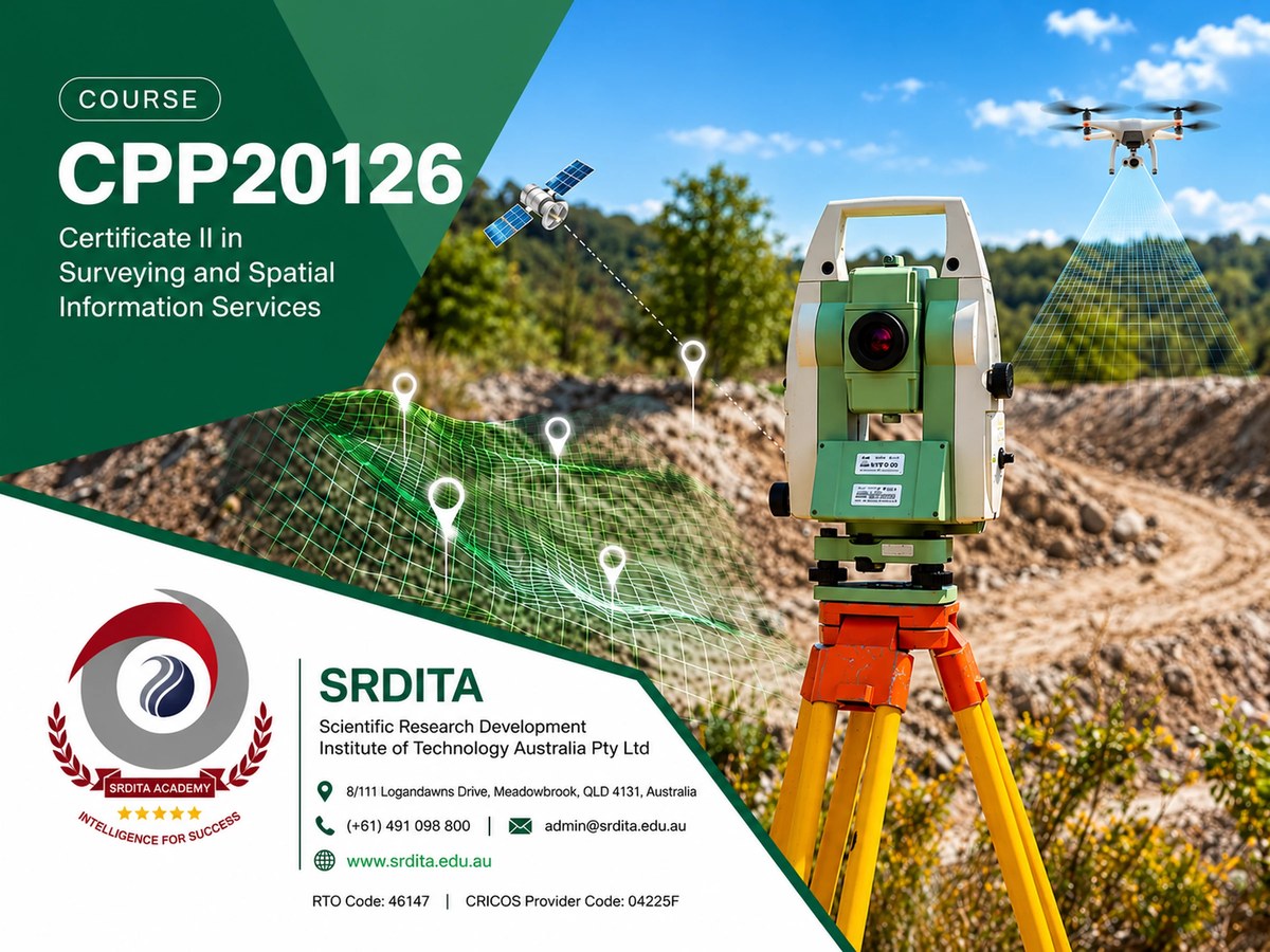
Certificate II in Surveying and Spatial Information Services
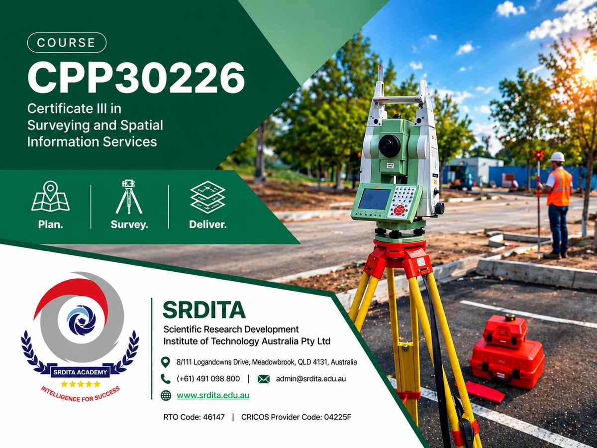
Certificate III in Surveying and Spatial Information Services

Certificate IV in Surveying and Spatial Information Services
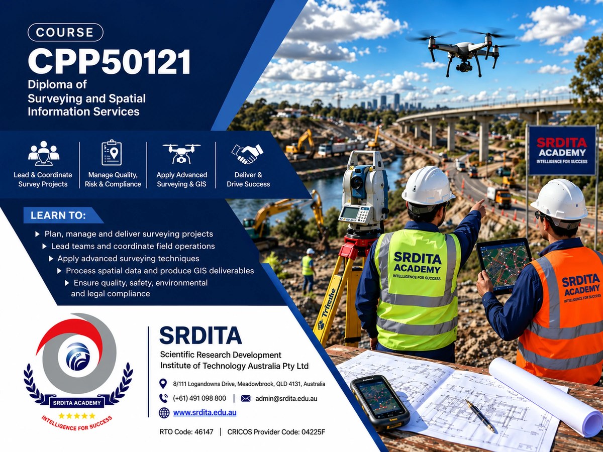
Diploma of Surveying