CPP20126 Certificate II in Surveying and Spatial Information Services
CPP20126 · Start your pathway into the surveying and spatial information industry.
- Qualification
- Certificate II
- Next start
- 1 February 2027
- Duration
- 43 weeks, no break
- Units
- 8 units
- National code
- CPP20126
Course overview
This 43-week entry-level course is designed for students who want practical exposure to surveying work and basic spatial information tasks. Students learn how to support field and office activities, follow safe work practices, use basic industry tools and equipment, and record workplace information under supervision.
The course is suitable for students who are new to surveying and want a structured starting point before moving into higher-level study or entry-level industry support roles.
SRDITA delivers training in line with the national training package requirements and applicable ASQA standards, with a focus on practical skills, workplace awareness and future study pathways.
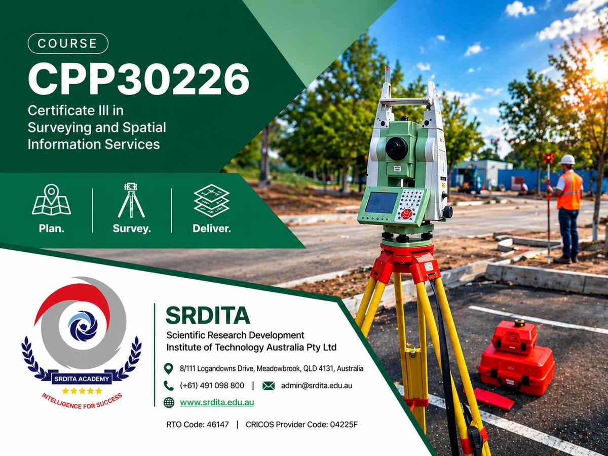
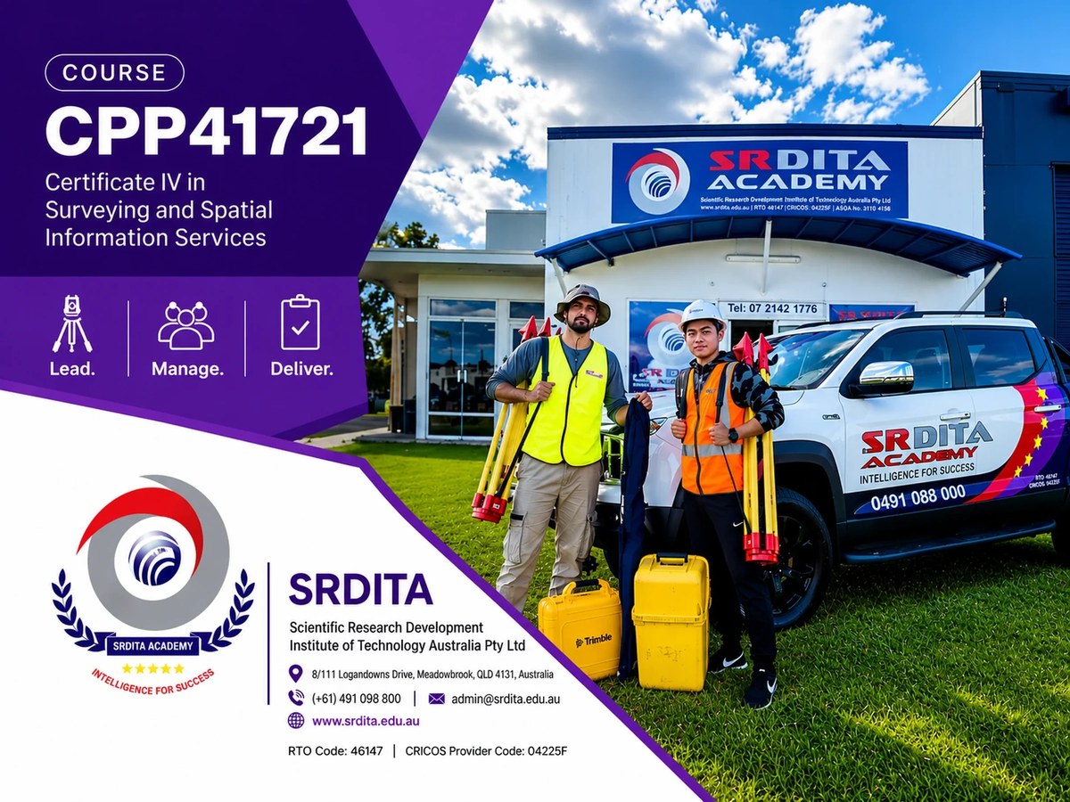
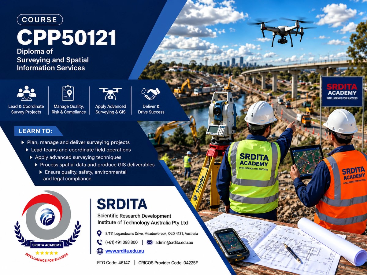
Successful completion may support progression to further qualifications in surveying and spatial information services, including Certificate III, Certificate IV, Diploma and Advanced Diploma pathways.
Delivery modes
Face-to-face
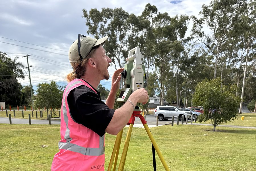
Training is primarily delivered at the SRDITA Meadowbrook campus through classroom and practical field activities. Some learning activities, assessment support and online learning may also be provided where appropriate to meet course and nominal hour requirements.
Qualification description
This qualification applies to those who require skills development to prepare for workforce entry or vocational training pathways. It reflects the role of individuals who work under direct supervision to perform a range of mainly routine tasks in a surveying or spatial information services context.
Possible career pathways
This qualification may support entry-level opportunities in supervised surveying and spatial information services support roles, including field support, survey team assistance, basic data collection, mapping support and spatial information support.
Entry requirements
- This qualification has no entry requirements.
English language, literacy and numeracy
- Numeracy skills and English reading, writing and spoken language skills at Australian Year 8 or equivalent
Learners are additionally required to
- Have access to a computer and the internet
- Possess computer skills to navigate websites and complete basic word-processing tasks
- Complete SRDITA assessment of LLN Level 2 and Digital Skills
Fieldwork requirement
Learners are required to supply the following:
- Closed-in shoes suitable for working in parks and gardens
- Loose-fitting long-sleeve shirt and pants for sun protection
- Wide-brimmed hat for sun protection
Pathways and requisites
This qualification provides a foundation for entry-level employment in the surveying and spatial information services industry and supports progression to further training. Learners may continue to higher qualifications such as the Certificate III in Surveying and Spatial Information Services, Certificate IV in Surveying and Spatial Information Services, and Diploma of Surveying, depending on their career goals and industry experience.
Pre-requisites
There are no prerequisite requirements for this qualification.
Units of competency
SRDITA delivers 8 units for the Certificate II in Surveying and Spatial Information Services.